Earth observation, made operational
We turn orbital imagery and geospatial signals into decisions teams can use without becoming remote-sensing specialists.
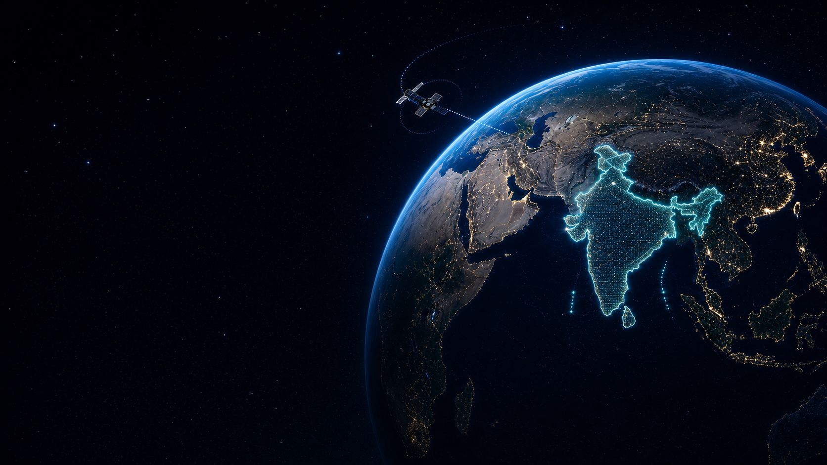
We help teams see what is changing across land, crops, climate, and infrastructure, then convert that signal into clear operating priorities.
0.5m
target spatial resolution
10 min
freshness for key updates
3
core intelligence systems
We turn orbital imagery and geospatial signals into decisions teams can use without becoming remote-sensing specialists.
Every alert, score, and map layer is designed to connect back to spatial proof and a clear operating question.
Agriculture, climate risk, land monitoring, infrastructure, and defense need speed without losing accountability.
Orbilytics is organized around focused systems, each designed for a concrete decision environment instead of generic satellite browsing.
AgriOS
Detect crop stress, irrigation risk, and yield signals before field visits become expensive.
Climate Risk
Model heat, flood, drought, and storm exposure against land, supply chains, and infrastructure.
Monitoring
Track land, assets, infrastructure, and change events without waiting for manual reports.